Vistula River in numbers
- 1047 km – total length of the Vistula
- 194 424 km² – basin area
- 75 – cities and towns located on the Vistula
- 55 – protected areas on the Vistula
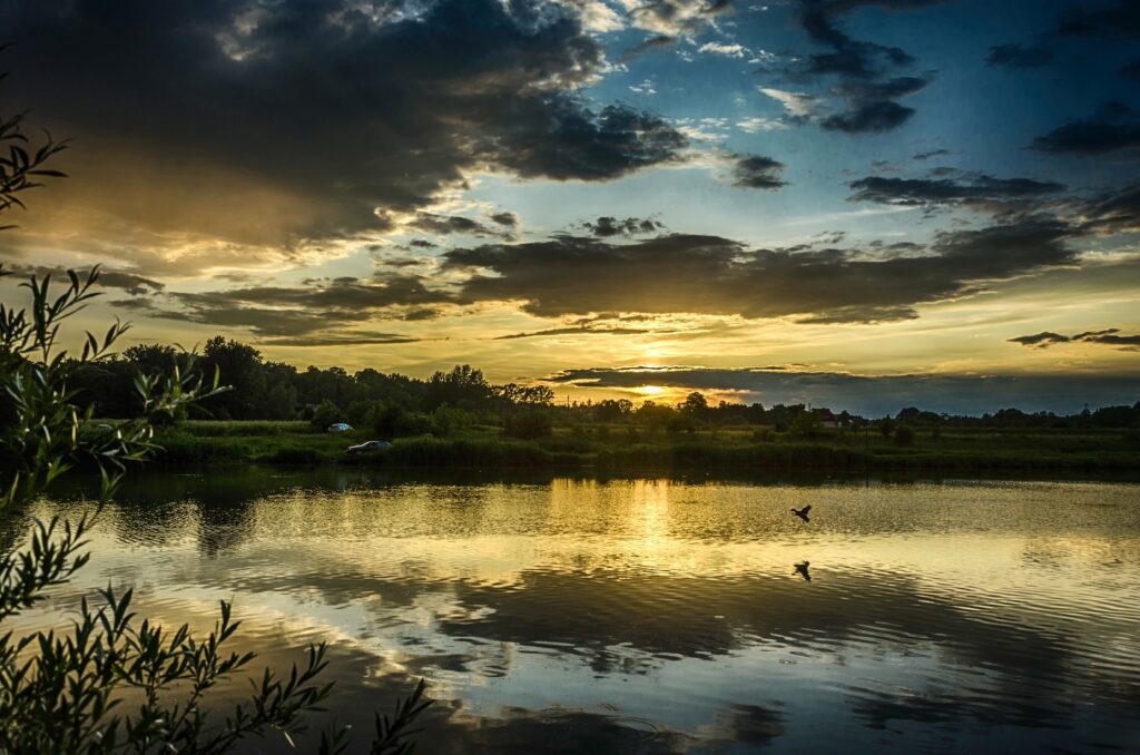
The Vistula is Poland’s largest river. Its length is 1,047 km and the entire river is in Poland. The Vistula basin covers an area of 194,424 km² (including 25,725 km² outside Poland). The river’s sources are located in the Silesian Beskids, on the western slope of Barania Góra Mountain, at an altitude of 1,106 m a.s.l. The Vistula empties into the Baltic Sea near the Gdańsk Bay forming a delta called Żuławy (about 50 km from its confluence with the sea, the river bifurcates into two branches, the other one called the Nogat).
The largest left-bank tributaries of the Vistula are as follows: Nida, Kamienna, Pilica, Bzura, Brda, and Wda.
Its largest right-bank tributaries are the following: Raba, Dunajec, Wisłoka, San, Wieprz, Narew, Wkra, and Drwęca.
The queen of Polish rivers is about 20,000 years old. It formed during the Pleistocene when a large ice sheet, retreating from the present area of Mazovia, stopped. Climate warming caused huge masses of water to flow from the south along the Vistula ice-marginal valley through today’s Germany to the North Sea. The pra-Vistula channel was 18-20 km wide. It was after the Scandinavian ice sheet had melted and the Baltic Sea had formed that the pra-Vistula was redirected to a new drainage basin[i]. Today, the Vistula is 1.5 km wide in its widest place. It is the longest river emptying into the Baltic Sea and one of the last “wild” rivers in Europe.
High water events are a common phenomenon on the Vistula River, frequently leading to the occurrence of floods in the Vistula valley. In its upper course, floods occur most often in July (as a result of torrential rains in the mountains), while in the middle and lower course — in March (they are mainly caused by the flow of snowmelt water in the lowland part of the basin). Ice events occur on the Vistula already during the third 10 days of November, earliest in the section between the mouths of the Narew and Drwęca Rivers, whereas latest in the upper course of the river. Upstream of Warsaw, in the area of Góra Kalwarii, there are frequent frazil ice jams. Ice cover usually appears in the second half of January and disappears at the end of February. The process of river ice release progresses from south west towards north east, which causes ice jams and related ice jam floods in the lower course of the river. Every year, the Vistula discharges about 2.2 million m3 of river sediment into the Gdańsk Bay, while during a flood event several times more.
In the Vistula basin area, there are many forest complexes and the river also flows through different protected areas that include special protection areas and special areas of conservation, nature reserves, landscape parks, and protected landscape areas. This is a unique complex of ecosystems. At the country’s scale, the Vistula drainage basin occupies 2/3 of its area. The river is distinguished by a branched channel. Furthermore, there are diverse islands and islets as well as sand bars and oxbow lakes.
The area covered by the Odra-Vistula Flood Management Project includes the Vistula valley from its sources to the gauging station in Zawichost (at km 287+600). The cities of Wisła, Czechowice-Dziedzice, Bieruń, Oświęcim, Kraków, Tarnobrzeg, and Sandomierz, among others, as well as smaller towns and villages are located along this stretch of the river.
[i] https://mazowsze.szlaki.pttk.pl/548-pttk-mazowsze-rzeka-wisla


